1 / 3
❋Nature
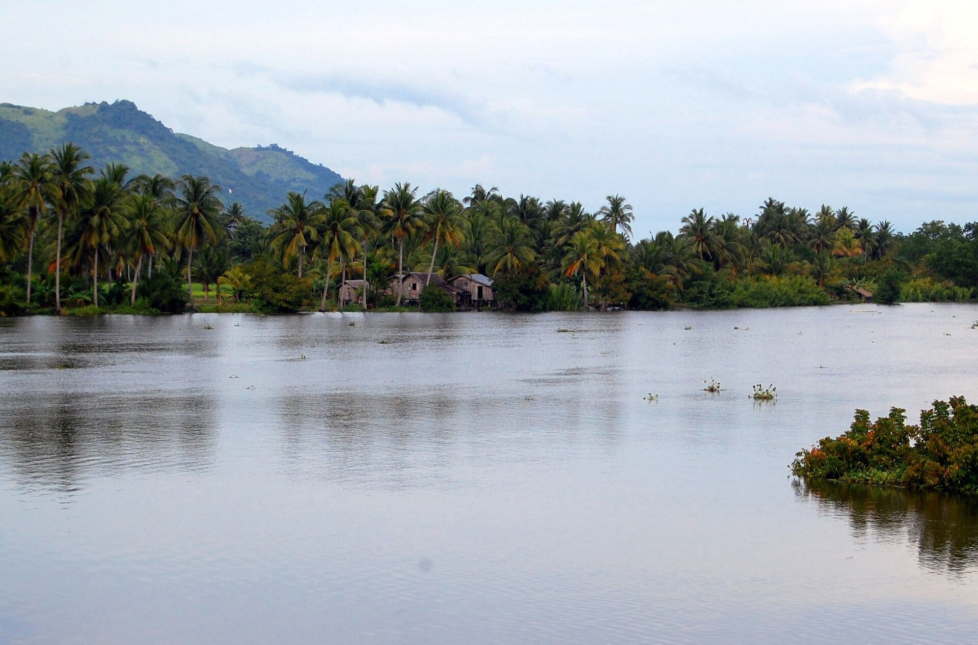
Rio Grande de Mindanao
Cotabato Basin, Maguindanao, BARMM
The longest river in Mindanao begins in the Lanao Plateau and flows southwest through the Cotabato Basin before emptying into Illana Bay. The river's broad delta supports traditional Maguindanao fishing communities whose bamboo fish corrals and colorful vintas pattern the water at dawn. River transit by motorized banca through the marshland tributaries remains the most atmospheric way to move through the Cotabato Basin, with egrets lifting from the reeds and water buffalo crossing the shallows at dusk.
📸 Shubert Ciencia (CC BY 2.0), pdsarmiento (CC BY-SA 4.0), Patrickroque01 (CC BY-SA 4.0) via Wikimedia Commons
riverMaguindanaovintadeltafishingbanca
Vibes

0
saved
—
liked
—
visited
On the map
7.100°N · 124.200°E
Recreations
Comments
Sign in to leave a comment.
More like this